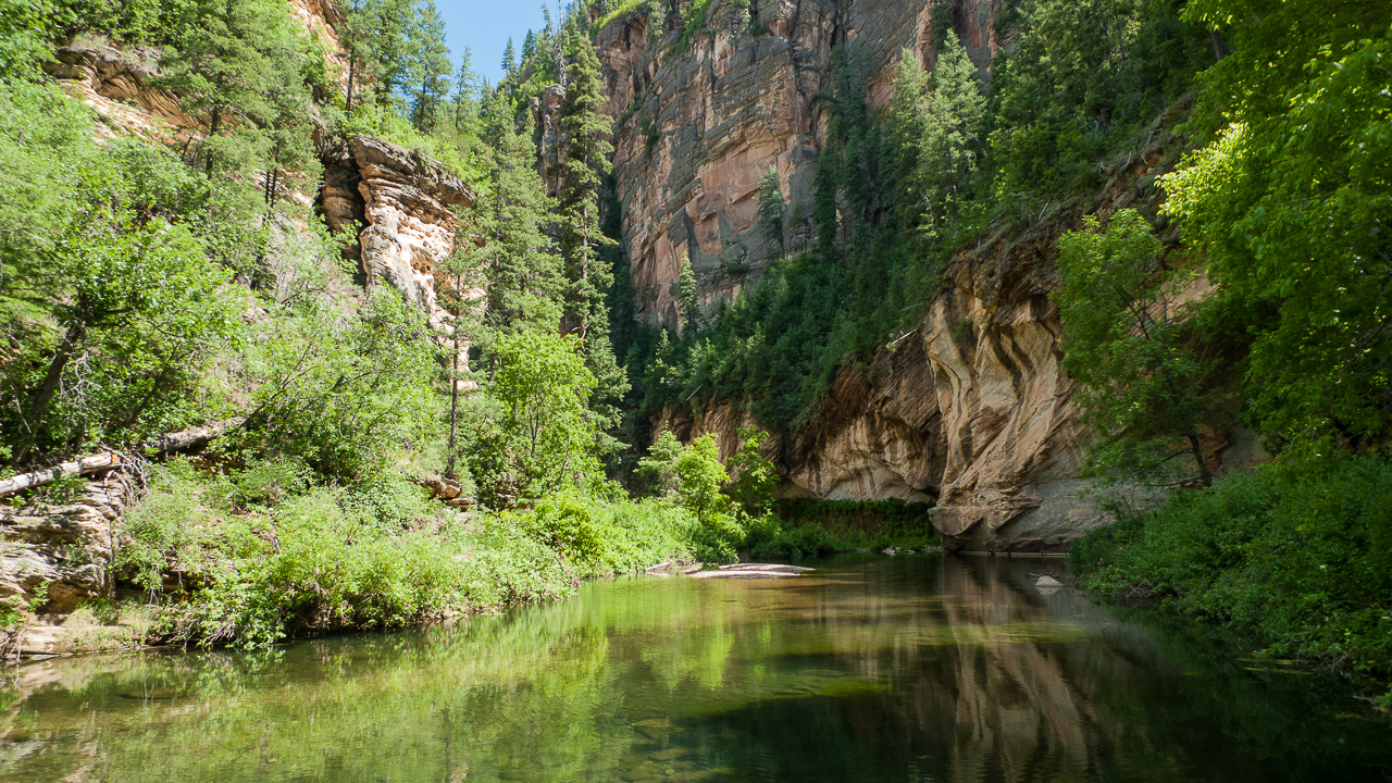

My immediate interest in West Clear Creek. This is east of Camp Verde and north of Strawberry. West Clear Creek begins up on the rim near Clints Well at an elevation of 6900 feet and heads west to meet the Verde River a few miles south of Camp Verde. Is there an East Clear Creek? Yes there is! It also begins near Clints Well, but heads (would you believe it?) east and then north to meet the Little Colorado near Winslow.
West Clear Creek is of interest because it has water year 'round (as near as I can tell) and a dramatic canyon cut in Coconino sandstone. The upper reaches of West Clear Creek has some technical canyoneering in various side canyons. Heading up West Clear Creek will involve wading and probably also swimming. Dry bags are in order if you are backpacking.
Because of proximity to Phoenix, West Clear Creek gets lots of use, especially on weekends. The Canyon bottom is at 3800 feet elevation at the west end and at nearly 5000 feet in the far east.
My topographic maps of this area are old (as they all are). But they are old enough that Highway 260 is not shown, so if you print topographic maps, you may want to use Google earth to update them.
Main West Clear Creek Trail.
This is at 3600 feet at the far west end of the creek.
34:32:24.8, -111:42:28.1 ( 34.5402222, -111.7078056 ).
I would expect this to be the most used access to WCC.
There are 4 stream crossings that range from knee-high to impassable.
The trail is 7.5 miles each way.
Bear Creek Trailhead. Most people call this the "West Clear Creek trailhead", but I call it the Bear Creek trailhead to distinguish it from the west end trailhead described above. This was recommended to me on my first trip by my friend Devin. It is very popular, don't expect solitude here, but it is quite nice. The roads to it can be driven by any high clearance vehicle.
This is the trailhead for the Bear Canyon and Sundance Canyon canyoneering routes. Oddly enough, I have not found it described on the Forest Service website.
34:32:44.91, -111:26:1.00 ( 34.5458083, -111.4336111 ) The elevation is 6550 feet, there are lots of places to camp, and the trail down to (or back up from) West Clear Creek is steep but easy to follow.
Calloway Trailhead.
This is at 6364 feet.
34:33:23.08, -111:28:35.68 ( 34.5564111, -111.4765778 )
This is about 3 miles west of the Bear Canyon trailhead (above).
Bueno tank is somewhat east of the trailhead.
I have not been here yet.
You can start either from Flagstaff, or Clints Well.
To get to Clints Well, continue driving 87 north from Strawberry, to the junction with FH-3 (Lake Mary Road). There is nothing in particular at "Clints Well", it is just a road junction. Drive north on FH-3 for about 7 miles to FR 81, where you turn left.
You can also get to this same spot from Flagstaff by taking FH-3 (Lake Mary Road) south for 7.5 miles to FR 81.
One way or the other, you are on FR 81. Go west about 4 miles to a junction where you turn left onto FR 81E. Go 4 miles on FR 81E to FR693, then follow FR 693 to the Tramway Trailhead. To get to the Maxwell Trailhead, stay on FR 81E all the way to the end. (Google Earth shows FR 318 on the way to Maxwell, so a map and perhaps GPS would be advised).
Tramway Trailhead.
This is at 6700 feet.
34:33:28.7, -111:25:13.7 ( 34.5579722, -111.4204722 )
This is on the north side of the Canyon, somewhat east of (and across from)
the WCC trailhead. The topo map shows a tramway dropping into the canyon
near this spot! There is not much sign of it on Google Earth.
Maxwell Trailhead.
This is at 6700 feet.
34:33:31.5, -111:24:26.4 ( 34.5587500, -111.4073333 )
This also is on the north side of the Canyon, about 1 mile east of the Tramway trailhead.
A person has to wonder what canyoneering there might be on the north side. Tramway Canyon has what is described as a "mediocre" route with some rappels:
The exit trail for this would be a non-technical entry to this section of WCC. This would drop you in to the north end of the "White Box" section of WCC. This also would involve a 1.5 hour nasty drive each way on a bad 4x4 road.
When we went down Meadow Canyon, we drove only 3 miles or so, parking south of where the power lines cross Meadow Canyon. This meant that once exiting at the north end (after passing through the "White Box"), we had a long (6 mile) walk back to our vehicle. Note that you do have to bushwack your way across Meadow Canyon in order to follow the power lines. Doing the return walk after sunset in June is actually rather pleasant.
I have not yet done this. I spoke to a fellow who just had, and he said that in June of 2020, the potholes were full of water and not an issue at all. He suggested that doing Bear Canyon first would give you a handle on how much water to expect. If the potholes are full, you won't have any issues.
Tom's hiking pages / tom@mmto.org